I’ve done the journey by shared taxi from Kyrgyzstan’s capital Bishkek to its second city Osh several times now. It’s a gruelling day-long journey, taking around 11-12 hours (more when it’s snowing). My previous trips were in the autumn, when it was already getting dark by the time we reached the south of the country, but this time travelling in July I got to experience the whole route from start to finish.
Shared taxis go from the West Bus Station near to Osh bazaar, most of them leaving early morning. We got there around 8am and were assigned by the taxi rank’s Mr Big to a large car with three rows of seats. As I was travelling with my mum, who’s in her late 60s, I paid extra for the two of us to have the second row to ourselves — though we later invited a little girl from the back row who was feeling car sick to share it with us. (The girl fell asleep heavily onto my mum, who had back problems for the next few days — no good deed goes unpunished!)
Part 1: Bishkek to Kara Balta
The road runs directly east from Bishkek to just before the small city of Kara Balta — closed off in the Soviet era because of its uranium ore processing facility, now owned by Russian conglomerate Renova. The road from Bishkek to Kara Balta is wide and straight, the driver only having to swerve occasionally to miss a pothole or perhaps a dog or cow that’s wandered into the traffic. While it passes through several small towns it’s more or less like a long extension of Bishkek with houses, shops and restaurant along both sides of the road.
Part 2: Kara Balta to the Too-Ahsoo Pass

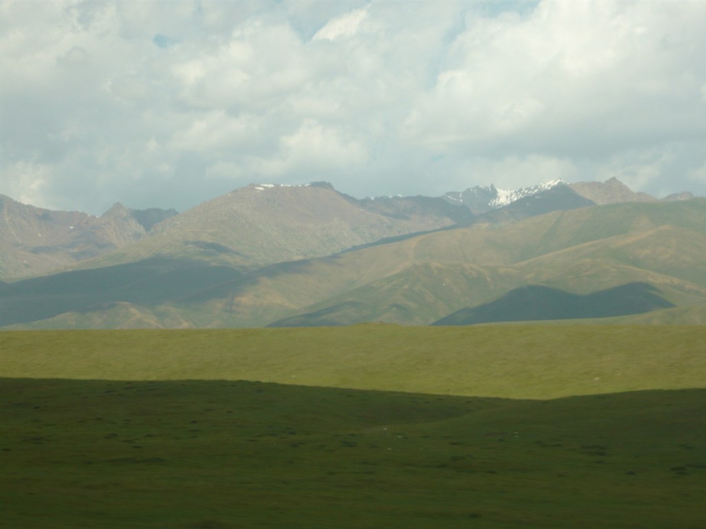
Just before Kara Balta we take a sharp turn to the left and the road soon starts climbing upwards. We’e heading up into the Kyrgyz Ala-Too Range, an extension of the Tian Shan. This road, which winds up through deep gullies alongside tumbling rivers and hugs the side of the mountains, is in much better condition than most in Kyrgyzstan, and has regular signposts and crash barriers.
The Too-Ahsoo Pass is 3,586m above sea level, but the road actually passes through a tunnel about 400m lower down. The tunnel is named after Kusain Kolbayev, a Soviet-era transport minister who was responsible for building many of the country’s main roads.
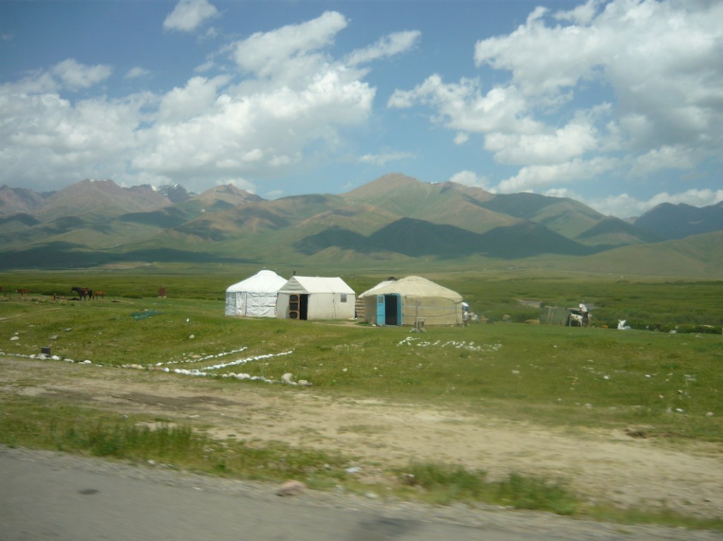
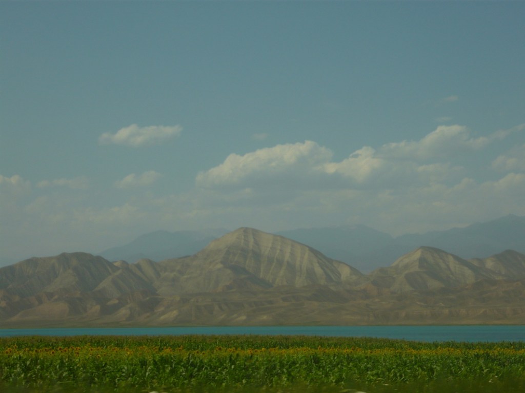
Part 3: The Suusamyr plateau
Suusamyr is a high plateau — more than 2,000m above sea level, surrounded by high mountains. Emerging from the tunnel on the southern side of the Ala-Too, it’s spread out ahead, a wide expanse of rolling countryside dotted with small settlements, many of them collections of yurts, with more snow-capped mountains in the far distance. Once the road descends to the plateau, we pass yurts beside the road — even some double decker ones! — offering travellers food, kumys or a bed for the night.
Part 4: Suusamyr Too
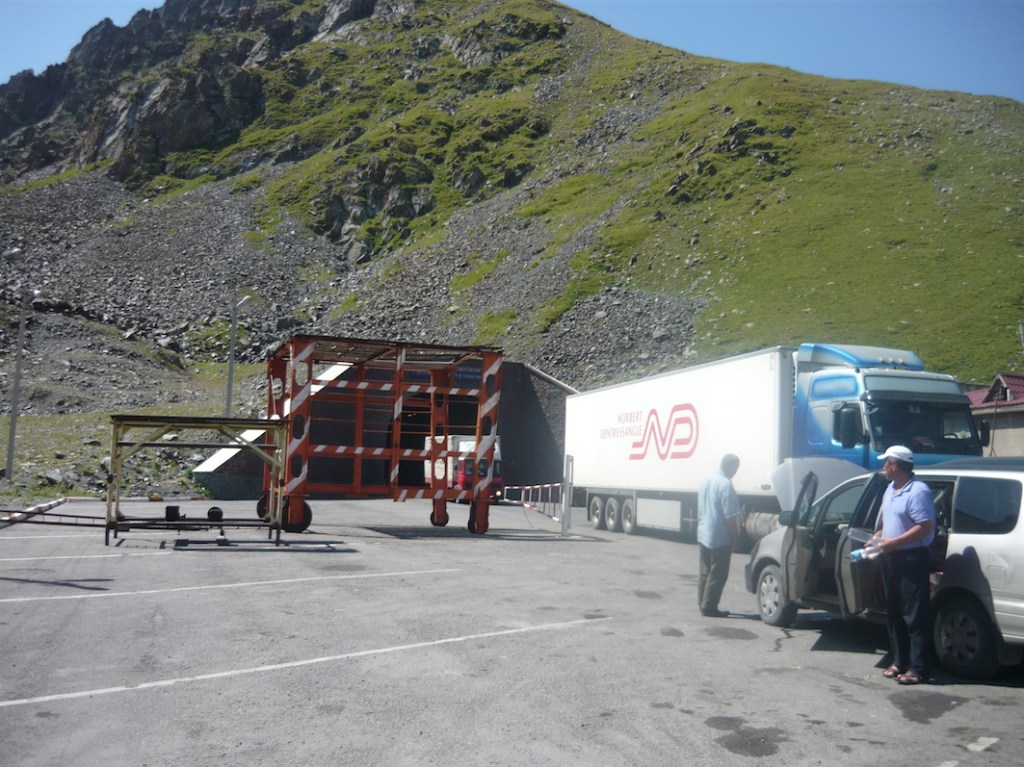
After crossing the plateau, the road rises up again through the Suusamyr Too mountains, that run parallel to the Ala-Too from east to west. The highest point cars reach is the Ala-Bel pass at 3,175m above sea level. The road then winds back down alongside the river into the Chychkan Valley. Here we start passing lots of restaurants and guest houses alongside the road and the Chychkan river. We’re halfway to Osh and it’s time for lunch!
Part 5: Toktogul
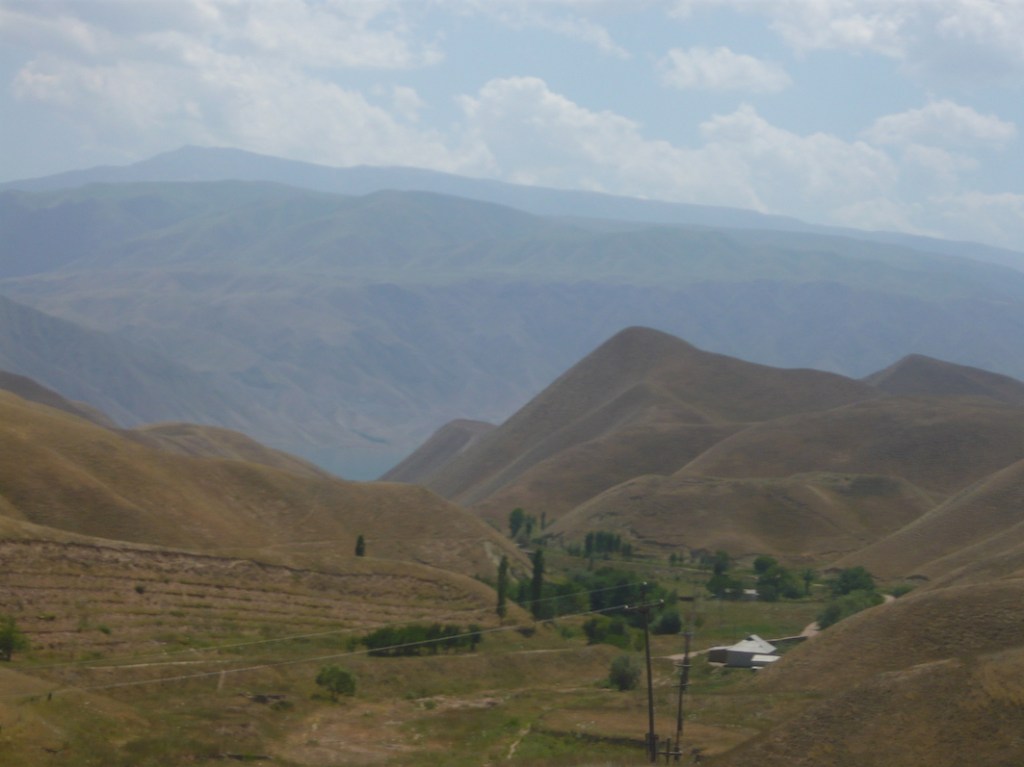
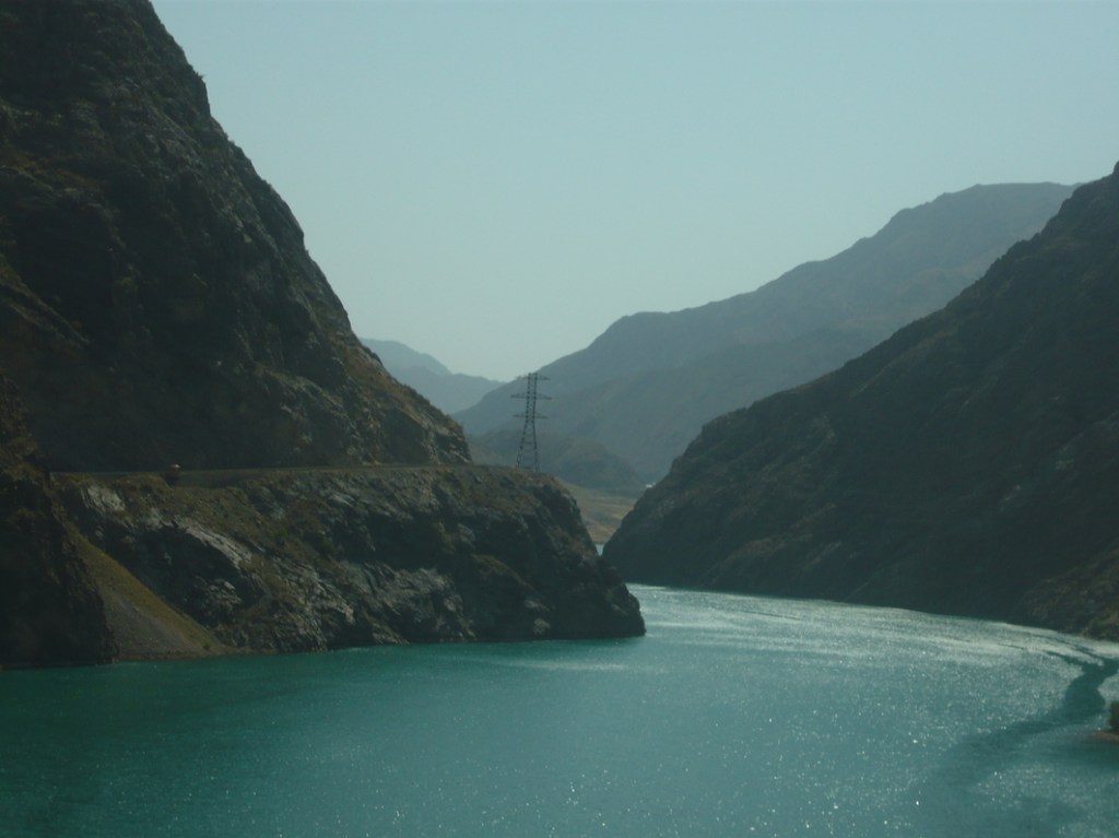
The Chychkan river flows downhill towards Toktogul, a small city with a population of around 20,000. The city is best known for its reservoir, the largest on the Naryn river. It was named after the poet and musician Toktogul Satilganov, who was actually born in the village of Kushchusu that is now one of many small settlements submerged by the reservoir. Past Toktogul, the road passes around the eastern end of the reservoir.
Part 6: Along the Naryn river
Another beautiful stretch of the journey as the road circles the lower side of the reservoir before turning along the Naryn river. The Naryn starts in Kyrgyzstan’s high Tian Shan mountains, and eventually flows into the Syr Darya in neighbouring Uzbekistan then on towards the Aral Sea. While Toktogul is the largest dam and reservoir the river — an intense turquoise — frequently pools out before smaller dams. We leave the river shortly after the industrial city of Tash-Kömür.
Part 7: The Fergana Valley
We’re now in the Fergana Valley, a huge fertile area of land shared — sometimes unhappily — between Kyrgyzstan, Tajikistan and Uzbekistan. Part of eastern Uzbekistan, where the cities of Andijan and Namangan are located juts out into Kygyzstan, forcing a long detour around. We pass the Kyrgyz city of Jalal-Abad, then Uzgen with the distinctive tiled pillars at the entrance to the bazaar and finally, well into the evening, draw into Osh.

Leave a comment